
- Show trip
- Add to bucket listRemove from bucket list
- Share
- Mar 9, 2011
- ☀️ 17 °C
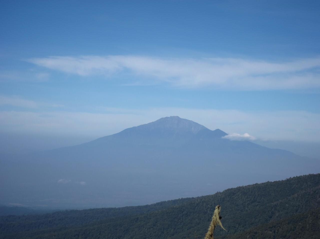
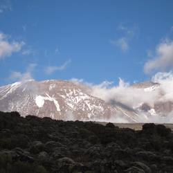
- Altitude: 3,830 m
 TanzaniaKilimanjaroShira Plateau3°4’2” S 37°16’36” E

Day 5
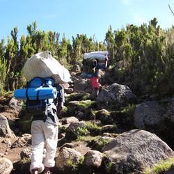
Day 4: Mountain Day 2
 March 9, 2011 in Tanzania ⋅ ☀️ 17 °C
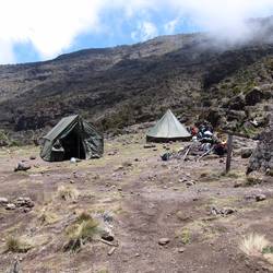
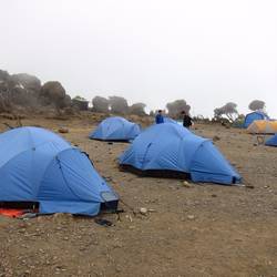
Machame Hut, 2980m ASL
Awoke to a sunny day with the snow-capped peaks of Kili looming above us. It had been a pretty retless night thanks to jetlag, coldness and rocky ground under our tent. The bookRead more