Satellite
Show on map
  • Day 2

    Wallis Island

    February 28, 2023 in Wallis and Futuna ⋅ ☀️ 29 °C

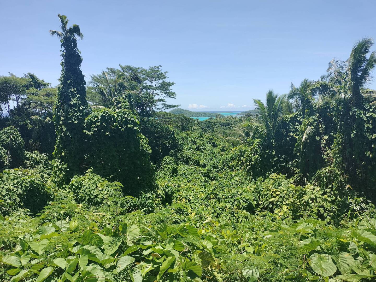
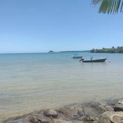
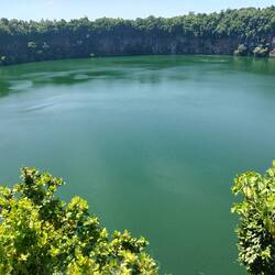
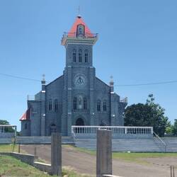
    The Territory of the Wallis and Futuna Islands, as it officially known, is another outpost of France in the South Pacific. I visited only Wallis Island during my shirt visit.
    Unfortunately, this small, lovely island is sorely lacking in tourism infrastructure. I do have a "tourism map," and it does identify many points of interest. However, most of them I could not find, either because they no longer exist, or the roads/ paths to them aren't maintained, let alone identified. Of the couple dozen sites on the map, I have found only 2 with any signage. One is in the 4th picture below; the other is another post.
    The 1st picture is taken from a hillside road in the southeastern part of the island. This view gives a sense of the vegetation and the lagoon. If you look between the islands in the distance, you will see where the water changes color. The faint white line is the ocean waves breaking over the viral reef protecting the lagoon.
    The next 2 pictures are of the differing shorelines. The 2nd is in the south, in this case where I stayed. The shore is rocky. The 3rd picture is at the north end with a sandy shore.
    The 4th picture is Lac Lalolalo, one of the identifiable tourist sites. This is a volcanic crater lake in the jungle, the largest of several on the island. It is almost perfectly circular with a 30 meter high vertical wall all around.
    The last 4 pictures are of a few of the churches on the island. The 5th picture is the Mata'utu cathedral, the largest church here. The others are some of the local churches. Like everything else, there are no signs I saw. So I can't tell you their names. They all seem to be built of block with large white mortar lines. Interesting architecture, though none were open to see inside.
    Read more