


Trekking Along the Icefjord
 August 5, 2022 in Greenland ⋅ ☁️ 46 °F
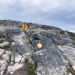
There are four popular trails to hike in Ilulissat … each providing a different perspective of the Ilulissat Icefjord (Ilulissat Kangerlua in Greenlandic).
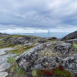
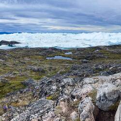
The 25-mile long fjord begins at the Greenland Ice Sheet and ends at Disko Bay. Way up at the head of the fjord is Sermeq Kujalleq (aka Jakobshavn Glacier) … a fast moving, active river of ice. It is this glacier — combined with the amazing scenery in the area — that has put the Ilulissat Icefjord on the UNESCO World Heritage Site List.
There are no views of the glacier from where the town is located … nor from the trails. All the visible ice — for miles and miles and miles — consists of bergs that have calved off the glacier. Some 20 BILLION tons per year according to the Wikipedia article I read. Another mind boggling number from the same source says that some of the icebergs are up to 3,300 feet (1 km) in height! No wonder they are grounded and remain in the fjord until such time as they break up and can free themselves. Due to the way the currents run, it is believed that the iceberg that caused the demise of Titanic came from this fjord.
When we visited Ilulissat in 2013, we walked through town to the boardwalk that runs down to the Icefjord for views that I still have a hard time comprehending … even after seeing them again today. On that occasion, we returned to town via the blue and red trails … coming across Thule skeletal remains that our historian Laurie pointed out along the way.
(The story of our 2013 hike — in words and images — is at this link …http://2totravel.blogspot.com/2013/12/ilulissat….)
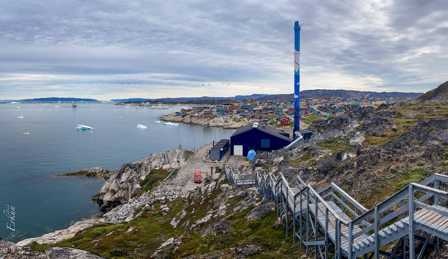
This time, we wanted to do something different. So, we opted for the yellow route. Instead of taking the shuttle arranged by Quark to the newly constructed Ice Center at the junction of the trails, we decided to hike the path in reverse by walking through town …. thanks, Fabrice, for showing us the short cut.
The downside to our plan was that we dawdled so much on the trail that we never had time to go into the Ice Center. On the other hand, had we gone to the center by starting at that end of the trail, we might not have managed to complete the hike. Definitely a dilemma.
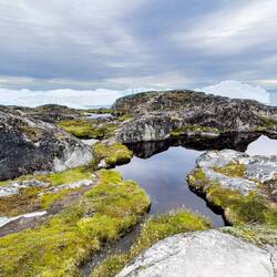
It wasn’t so much the distance that delayed us — about 2.5 miles with the walk to the trailhead near the power plant tacked on. Nor was the rocky terrain that had us crawling over and around boulders and rocks a problem. Even the elevation gain was a non-issue. It was the jaw-dropping scenery that kept stopping our forward progress!
We’re back on the ship now. But our day is not over yet …Read more
Sonia GelmanIt is amazing!
Traveler on i80 toward Salt Lake I can finally see the photos!
Two to TravelYay!