


- Vis rejse
- Tilføj til træskolisteFjern fra træskoliste
- Del
- Dag 6
- onsdag den 3. august 2022 kl. 11.38
- ☁️ 48 °F
- Højde: 23 ft
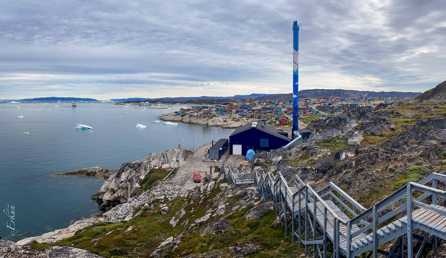
 GrønlandManiitsoq Kommune65°34’45” N 52°45’12” W


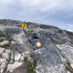
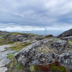
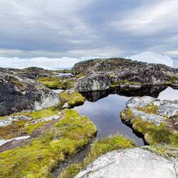
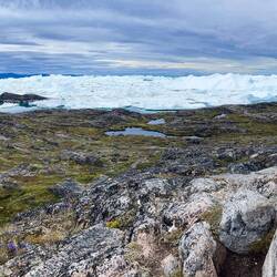
Tundra Hike: Inussuit Tasersuat
 3. august 2022, Grønland ⋅ ☁️ 48 °F
We’re still far enough south — a little below the Arctic Circle — that we had a bit of darkness last night … and a bit of sunrise color this morning. That will change soon enough.
Our plan ofLæs mere
 Davis Strait


RejsendeWow!! What an incredible adventure! You two are such intrepid travelers. That landscape is gorgeous.