
- Show trip
- Add to bucket listRemove from bucket list
- Share
- Dec 5, 2022
- ☀️ 25 °C
- Altitude: Sea level
 BahamasMayaguana DistrictAbraham’s BayAbraham Creek22°21’50” N 72°58’41” W


Day 41
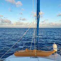
Bahamas wir kommen!
 December 5, 2022 on the Bahamas ⋅ ☀️ 25 °C
Bevor wir zu den Bahamas segeln, verbringen wir noch 2 Tag in einer geschützten Bucht im Nordosten von Providenciales. Es ist ein starker Wind und hohe Wellen vorhergesagt, deshalb suchen wir hierRead more


