- Tampilkan perjalanan
- Tambahkan ke daftar bucketHapus dari daftar bucket
- Bagikan
- 9 Mei 2024 16.00
- ☁️ 20 °C
- Ketinggian: 524 mi
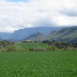
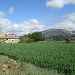
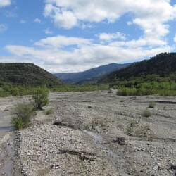
 PerancisLe Thoron44°2’55” N 6°8’29” E


Hari 12
Digne-les-Bains
 9 Mei 2024, Perancis ⋅ ☁️ 20 °C
Es sind nur knapp 400 Kilometer von Homps nach Digne. Die Zeit im Languedoc war sehr schön. Die Fahrt durch ewig erscheinende Weinbaugebiete durchsetzt mit wunderschönen Mohnblumenfeldern war sehrBaca selengkapnya