
- Show trip
- Add to bucket listRemove from bucket list
- Share
- Oct 3, 2023, 10:24am
- ☁️ 8 °C
- Altitude: 3,597 m
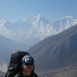
 NepalProvince 1Sānu Kholā27°39’42” N 86°48’45” E


Day 11
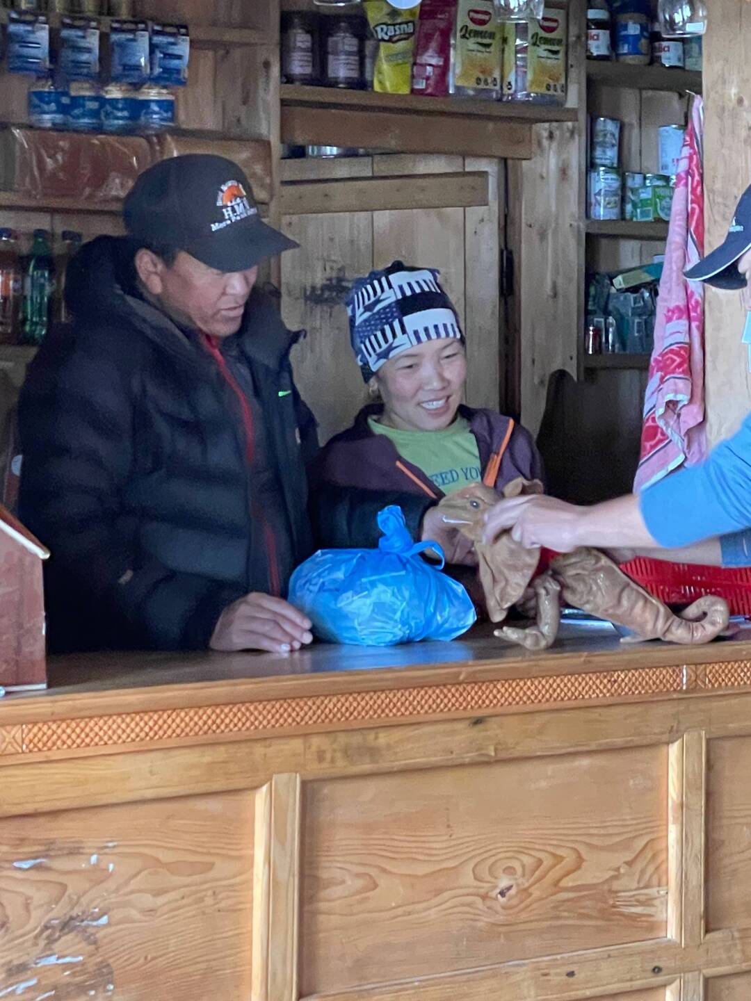
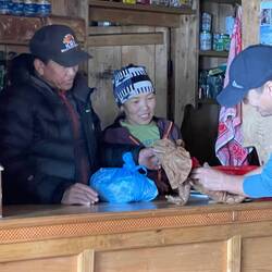
ALLE’S new clothes
 October 3, 2023 in Nepal ⋅ ☁️ 8 °C
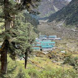
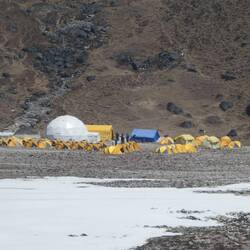
We got to Khote which is a cute small village in the middle of the Hinku valley.
ALLE and I shared a plate of momos for lunch which were yummy.
It’s a lot colder up here and decided that ALLERead more


Traveler You are doing such a fab job looking after ALLE!
Traveler ❤️
❤️
Traveler Hahaha